
Vermont Foliage Map
Seasons
Vermont foliage map
Week by week, town by town.
Color starts in the north and up high, then rolls south and down into the valleys. Press play to watch the season, or tap any town to see when it usually peaks.
Fall guides near the color
Casual Eats
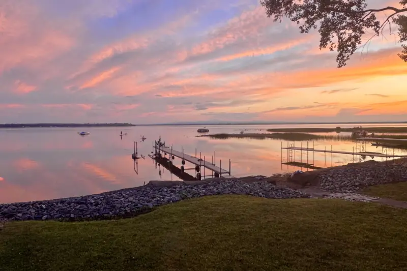
Keep Driving North for Donuts and Creemees at The Main Stop in Alburgh, Vermont
Keep driving north through Vermont's Champlain Islands for creative donuts, rotating flavors, creemees and sandwiches at this little Alburgh shop near the Canadian border.
6 min read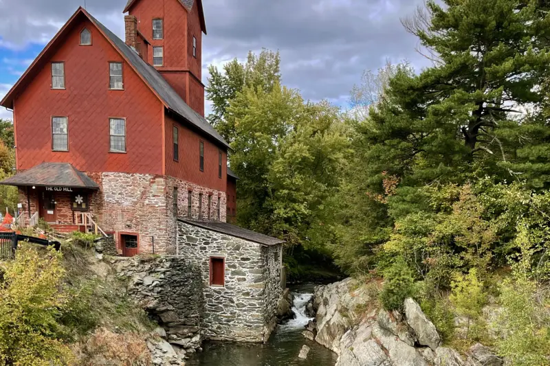
Hikes
The Old Red Mill in Jericho, Vermont: Snowflake Bentley, Local History & a Beautiful Riverside Walk
The Old Red Mill is one of Jericho's most recognizable landmarks, but there's more to see than its famous red exterior. Step inside for the Snowflake Bentley exhibit and Vermont-made gifts, then explore the short riverside trail for a different view of the historic building.
5 min read
Hikes
A Short Hike in Stowe Leads to a Chapel With a Remarkable History
A short hike through the woods at von Trapp Resort leads to a hand-built stone chapel with a remarkable World War II story.
13 min read
Activities
One of Vermont’s Best Fall Foliage Chairlift Experiences
One of my favorite Vermont foliage experiences is riding the Middlebury Snow Bowl chairlift, where the views on the descent are especially beautiful.
10 min read
Southern Vermont
Did You Know Vermont Has a 100-Mile View? Here’s Where to Find It
Did you know Vermont has a 100-mile view? Find it at Hogback Mountain Scenic Overlook along Route 9, where mountain views can stretch into New Hampshire and Massachusetts, with a country store, distillery and brewery nearby.
6 min read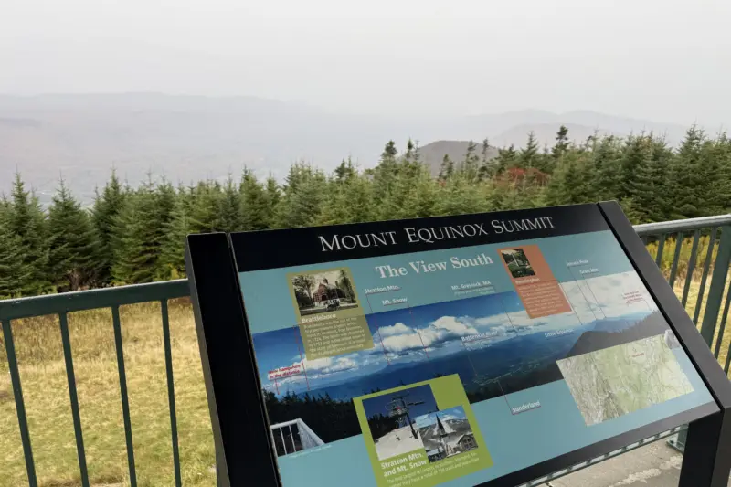
Road Trips
Mount Equinox Skyline Drive: Vermont’s Most Scenic Summit Drive
Drive to the 3,848-foot summit of Mount Equinox for sweeping Vermont mountain views, spectacular foliage, and an unforgettable scenic road trip.
14 min read


When is peak foliage in Vermont?
In a typical year the color peaks first in the Northeast Kingdom and on the high ground, around the first days of October. Stowe, Montpelier and the central mountains follow in the first week of October, and Burlington, the Champlain Valley and southern Vermont peak in mid-October. Any one town looks its best for about a week.
How the map works
Each town’s typical peak comes from how high it sits and how far north it is: higher towns turn about three to four days earlier for every 1,000 feet, and each degree further south adds about five days. Towns in the Champlain Valley, kept mild by the lake, run a few days later.
Through the season we add what we’re seeing on the ground each week, and the map moves to match. A town’s card says whether its color is a typical year or from this year’s reports.